 |
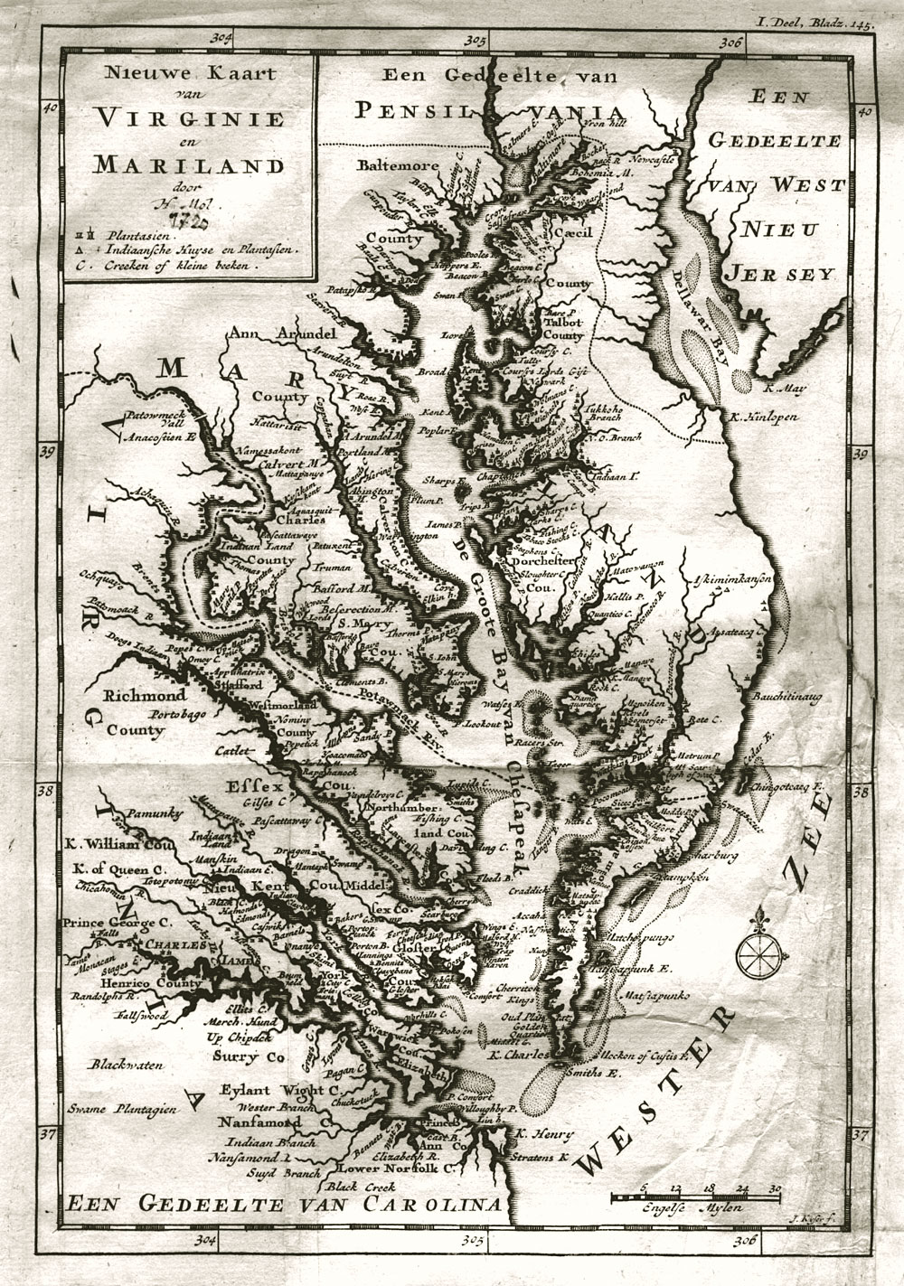
Nieuwe Kaart van Virginie en Mariland door H. Moll" 1720. This German version of Herman Moll's excellent map of Virginia and Maryland shows several features in Talbot County including the Choptank River and Dividing Creek which in 1886 was renamed La Trappe River and now called La Trappe Creek. It is still a little early to show Trappe. The map also shows Calvert Pt. in Talbot County on the Choptank River. Chancellor's Pt. was first called Calvert Pt. as it was surveyed in 1659 for Phillip Calvert who was Chancellor of the Maryland Province. |